When I’m making global thematic maps, I usually turn to Natural Earth. They provide country polygons and boundary lines, as well as features like cities and rivers, at several different scales. I always reference it in workshops that I teach, including the 2-week GIS Institute that I participated in earlier this month. It’s a solid, free data source and a good example for illustrating how scale and generalization work in cartography. It’s a “natural choice”, as they provide boundaries that depict the way the world actually looks.
I also discussed aesthetics and map design during the Institute. What if you don’t necessarily care about representing the boundaries exactly the way they are? If you rely on the map reader’s knowledge of the relative shape of the countries and their position on the globe, and you employ good labeling, you can choose boundaries that are more artistic and fun (provided that your only goal is making a basic thematic map and it’s not being published in a stodgy journal).
Project Linework is part of Something About Maps, an excellent blog by Daniel Huffman. The project consists of different series of public domain boundary files that have been generalized to provide interesting and visually attractive alternatives to standard features. The gallery contains a sample image and brief description of each series, including details on geographic coverage. Most of the series cover just North America or select portions of the world.
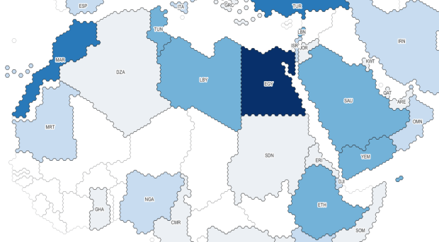
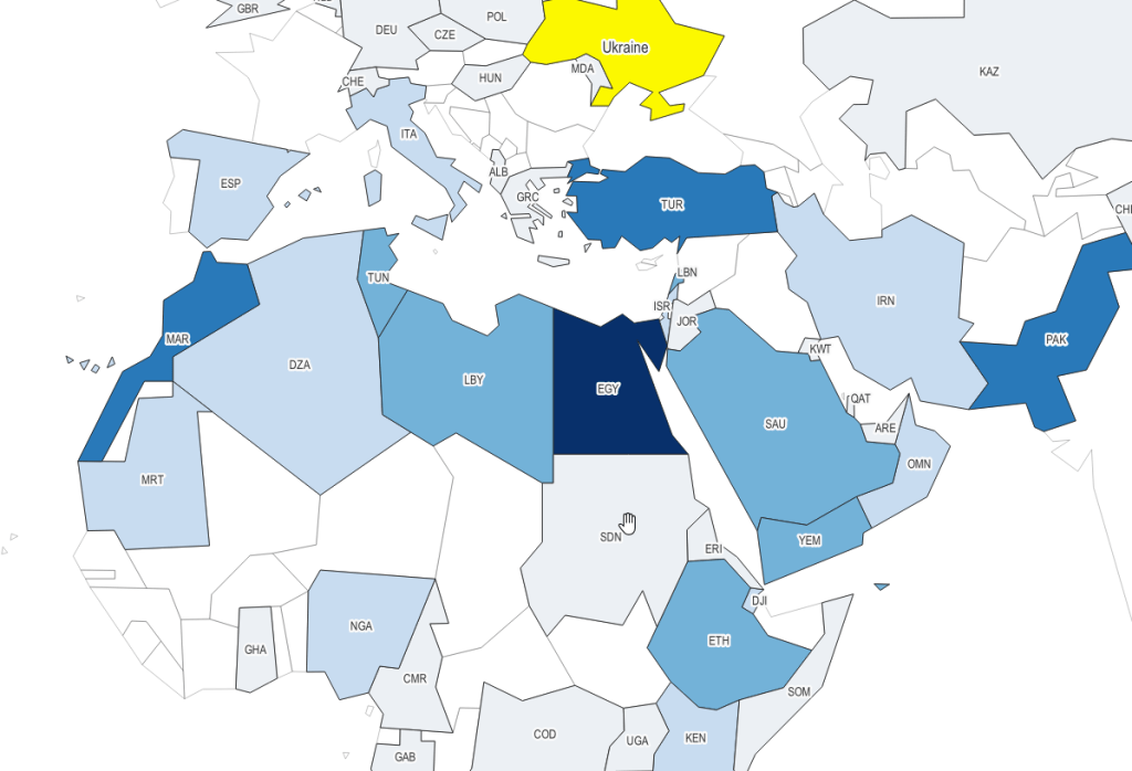
The three I’ll mention below are global in coverage. They come in shapefile and geojson formats, are projected in World Gall Stereographic (ESRI 54016), and include line and polygon coverages. The attribute tables have fields for ISO country codes, which are standard unique identifiers that allow for table joins for thematic mapping. I took my map of Wheat and Meslin Exports from Ukraine from an earlier post to create the following examples.
With the Wargames series, the world has been rendered using the little hexagon grids familiar to many war board gamers, and plenty of non-war gamers for that matter (think Settlers of Catan). Hexes are a an alternative to grids for determining adjacency.
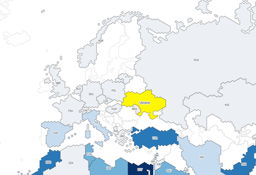
Moriarty Hand is a more whimsical interpretation. It was drawn by hand by tracing line work from Natural Earth. The end result is more organic compared to Wargames. It comes in two scales, small and large (with an example of the latter below):

My personal favorite is 1981. It’s inspired by the basic polygon shapes that you would have seen in early computer graphics. When I was little I remember loading a DOS-based atlas program from a floppy disk, and slowly panning across a CGA monochrome screen as the machine chunked away to render countries that looked like these. Good if you’re looking for a retro vibe.
Happy mapping! Also from Something About Maps, check out this excellent poster and related post about families of map projections.
